
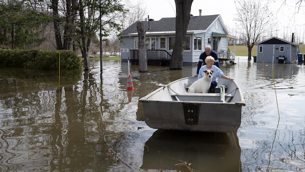
A recent report from the Auditor General’s office highlights the delay in launching a portal for Canadians to assess their personal flood risk based on their address. The portal, which is not operational yet, is also criticized for not factoring in climate change. This delay in providing crucial flood maps could exacerbate Canada’s housing crisis by hindering effective planning and protection of homes and infrastructure.
According to the report, essential tools like climate change projections and readily available flood maps are critical for informed decision-making regarding long-term planning, such as construction and infrastructure development. Failure to incorporate up-to-date information could increase risks and lead to higher disaster recovery costs for Canadians.
An analysis of the Flood Risk Finder initiative revealed that the planned cross-Canada flood risk database, similar to the U.S. version, failed to materialize by the promised deadline. Although the technical development is complete, provinces and territories must opt in for the information to be accessible. However, the report found that the portal lacks data on changing flood risks attributable to climate change.
Experts emphasize the necessity of considering future climate scenarios in planning, especially for housing developers and prospective homebuyers. The absence of this crucial feature renders the portal of limited utility, potentially impacting decision-making related to housing and infrastructure development.
The report underscores that a significant portion of populated areas in Canada is situated in flood hazard zones, with federal spending on post-flood relief steadily increasing. Insured losses, primarily due to water-related damage, have risen substantially over the years, emphasizing the urgent need for comprehensive flood risk management strategies.
While efforts are underway to enhance the portal by incorporating climate data, challenges remain as the current system, procured from a private vendor, limits updates. Public Safety Canada is collaborating with academic and government partners to develop a new system that integrates climate considerations and allows for ongoing enhancements. However, the timeline for public availability of these improvements remains uncertain.
Moving forward, initiatives such as detailed flood mapping funded by Natural Resources Canada aim to support informed land use planning decisions to mitigate overall flood risk. The government’s commitment to making these maps publicly available by 2028 is crucial for effective adaptation strategies and risk reduction measures.
In conclusion, the report highlights the urgency of addressing delays and gaps in flood mapping initiatives to safeguard Canadians and mitigate the impact of the housing crisis. Adequate planning informed by accurate data is essential to protect communities and infrastructure from the increasing threats posed by climate change-induced flooding.