
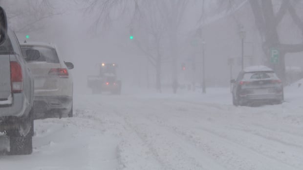
A sizeable winter storm sweeping through the United States this weekend is expected to reach the Maritimes by late Sunday night, bringing significant snowfall at the start of the week. This slow-moving system will usher in snow, wind, and blowing snow from Sunday night through Monday night, gradually tapering off to flurries by Tuesday.
Anticipated snowfall amounts range from 25 to 40 cm for Nova Scotia as the system departs by Tuesday. Northern regions will see lower totals, but southern New Brunswick is likely to receive a substantial 15 to 25 cm of snow, possibly reaching 30 cm along the Fundy coastline.
The snow is expected to be light and fluffy compared to previous storms this winter, making shoveling easier despite the need for multiple clearings in the next few days. However, the lighter snow is prone to blowing and drifting, leading to possible accumulations in driveways, roads, and highways, particularly in exposed areas. Winds are forecasted to gust between 50 to 70+ km/h across the region, with the strongest gusts anticipated in southwestern Nova Scotia.
Environment and Climate Change Canada has issued Yellow Alert Winter Storm Warnings and Snowfall Warnings for the region.
The snow is predicted to arrive in southwestern areas by Sunday evening, spreading eastward across the Maritimes throughout Sunday night and early Monday morning. The heaviest snowfall rates are expected in the southwestern half of Nova Scotia on Sunday night and Monday morning, with potential accumulation rates of two to four centimeters per hour.
Monday morning commutes will likely be affected, especially in mainland Nova Scotia and southern New Brunswick where snow will accumulate quickly and persist. Snow intensity will increase during the morning for Cape Breton, P.E.I., and northern Nova Scotia, accompanied by strengthening winds leading to blowing and drifting snow.
Light to moderate snowfall is projected to continue through Monday across most of the Maritimes, with heavier rates expected in northern Nova Scotia and southern New Brunswick during the afternoon, evening, and overnight hours.
As the system progresses eastward, snow will diminish to flurries from west to east. Western Nova Scotia and New Brunswick will experience snow tapering to flurries overnight Monday into early Tuesday. Central Nova Scotia and eastern New Brunswick, followed by eastern Nova Scotia, will also transition to flurries by mid-late Tuesday morning and early afternoon. Gusty northwest winds behind the system could cause continued blowing, drifting snow, and potential onshore flurries through Tuesday evening, especially in northern Cape Breton.
The Maritimes are set to experience changing weather conditions as the winter storm unfolds, impacting various regions with significant snowfall and gusty winds.