
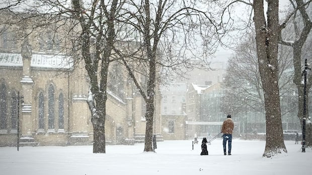
A powerful storm is forecasted to persist in the Greater Toronto Area overnight on Sunday and into Monday, potentially resulting in up to 60 centimeters of snow accumulation in certain regions. Residents are advised to refrain from non-essential travel and monitor flight statuses due to numerous flight cancellations at Toronto airports.
Environment Canada has issued an orange winter storm warning, with predictions ranging from 30 to 50 centimeters of snow throughout the GTA. However, specific areas like Toronto and Mississauga could experience over 60 centimeters of snow accumulation. The storm is expected to bring about six to 10 centimeters of snow per hour at its peak.
As the storm progresses, it is anticipated to gradually ease off overnight into flurries, with caution advised for snowplows on roadways. Temperatures may drop to a low of -13°C with a wind chill of -22°C. Environment Canada recommends preparing for rapidly changing travel conditions, taking frequent breaks while clearing snow, and being aware of near-zero visibility due to blowing snow and gusty winds of up to 50 km/h.
Prior to the storm, Toronto had already seen 105 centimeters of snow this winter, nearly double the average for the period between November and January. Meteorologists have noted the significant snowfall levels, with historical data indicating record snowfall amounts on previous dates.
Flight disruptions and service interruptions are likely across the GTA, as evidenced by a high percentage of flight cancellations at Pearson International Airport and Billy Bishop Toronto City Airport. The City of Toronto has declared a significant weather event, activating its major snow event response plan.
As the storm continues into Monday morning, light snow is expected to persist, with the possibility of lake-effect snow in some areas. A wind chill of -22°C is forecasted for the morning, gradually warming to -15°C in the afternoon. Commuters are advised to anticipate delays and consider assisting with snow clearing efforts in their neighborhoods.
At a news conference, city officials emphasized the expected challenges in navigating the city on Monday and urged residents to allow extra time for their morning commute. All English GTA school boards have declared Monday a snow day, while French school district boards were yet to announce any cancellations as of Sunday evening.